YCGL - Monday, October 2, 2023 - I Fought Gibraltar and the Mountain Won
I just spent two hours writing about yesterday’s activities and it evaporated. I’m trying a different program so it may be abbreviated, at least to start. So here goes…


 This is a Google Earth picture shot that gives a little bit more perspective of the roads.


It wasn’t entirely unexpected. I did better here than I did at Cinque Terre (which I haven’t written about yet) but I got maybe 70% done, and it was enough. Not entirely successful, but an honorable defeat. As you can see, the western slope on the left has two slopes. The peak is 1400 feet and the break in slope is at 650 feet. There are two small beaches on the western side and they are the results of some major quarrying the British did to get rock for the “moles” or breakwaters out into the bay.
When I got looking for Gibraltar tours, all the ones I was interested in were closed. Looking at google maps of the port, I saw “e-bikes Gibraltar” a couple of blocks from the dock. I signed up immediately. After all, how bad could it be with an e-bike”?
It was a great bike. It was gearless like an automatic transmission. As you pedaled, it augmented. What was neat was on the right hand bar grip, there was an LED display with a bicycle and a road surface. When the road was level, you got maximum speed if you pedaled fast enough. When you came to a hill, you’d twist the grip and the display would show going up a hill and automatically increase the gearing, like downshifting. You’d pedal faster and go up a steep slope. But it didn’t have a self propelled mode like mine where you can let the motor do the work.
I asked the dealer about a good route to take. He basically gave me a loop around the country, mentioning good stops, things to see along the way, good beaches with cute girls and places for beer and sandwiches. I asked about riding up the mountain. He made some suggestions. We exchanged WhatsApp phone numbers and I took off from the bike store on the left edge of the map below. In this view, north is to the left.

Here is a map of the country and of my route. I started at the bike shop circled at the top or left side. I followed the lower roads out to the southern on tip at Europa Point. Along the way:

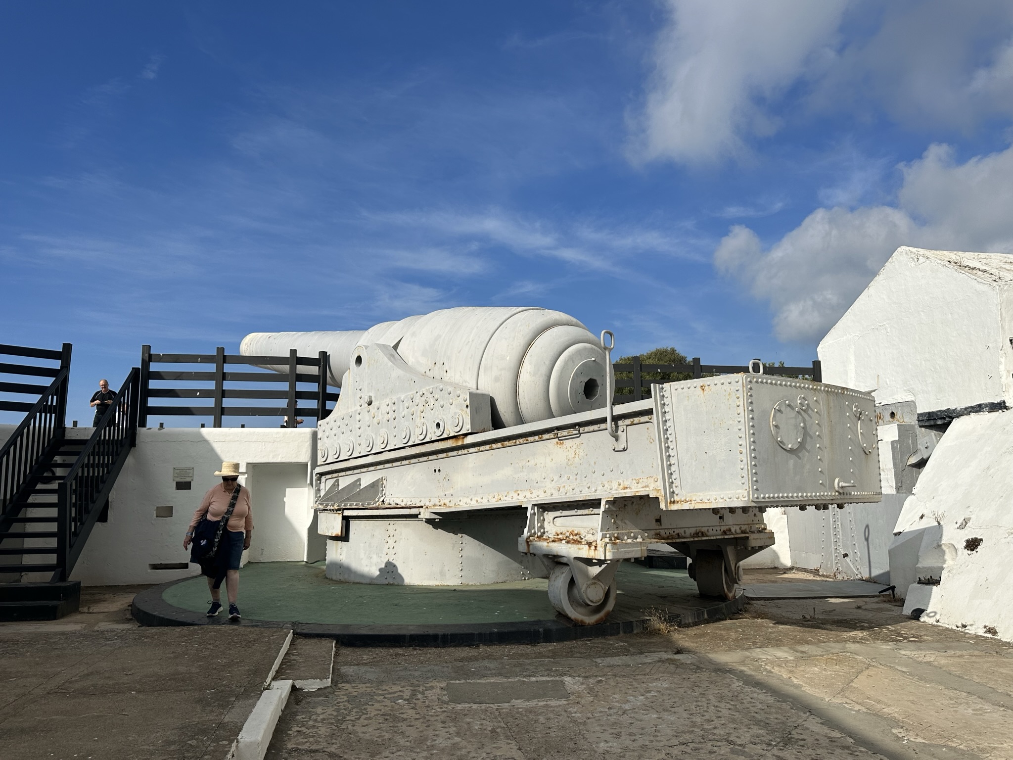
The 100 ton gun. The bore is 17.5 inches. Never fired in warfare.

Camp Beach, a former rock quarry for the "moles" or breakwaters in the harbor.

The pretty waterfall is actually the salt waste water from the water treatment plant above it. Back wall of the Camp Beach quarry.
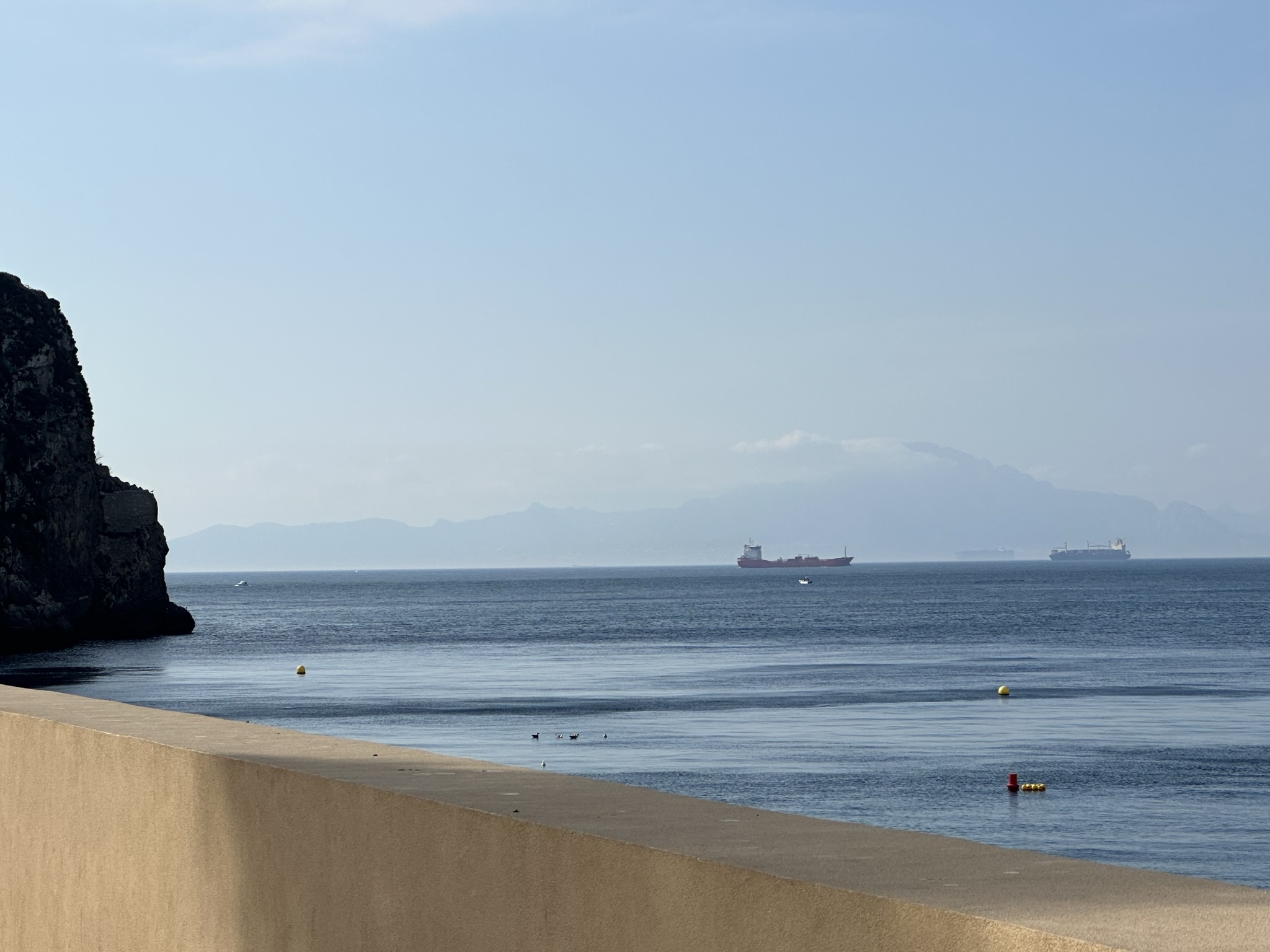
The Atlas Mountains in Morocco, Africa in the humidity eight miles across the Med. Together with Gibraltar, they make the Pillars of Hercules, from the Homer's Odyssey.

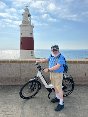
The Europa Point Lighthouse. Can be seen 20 miles away.

The bike at the lighthouse.


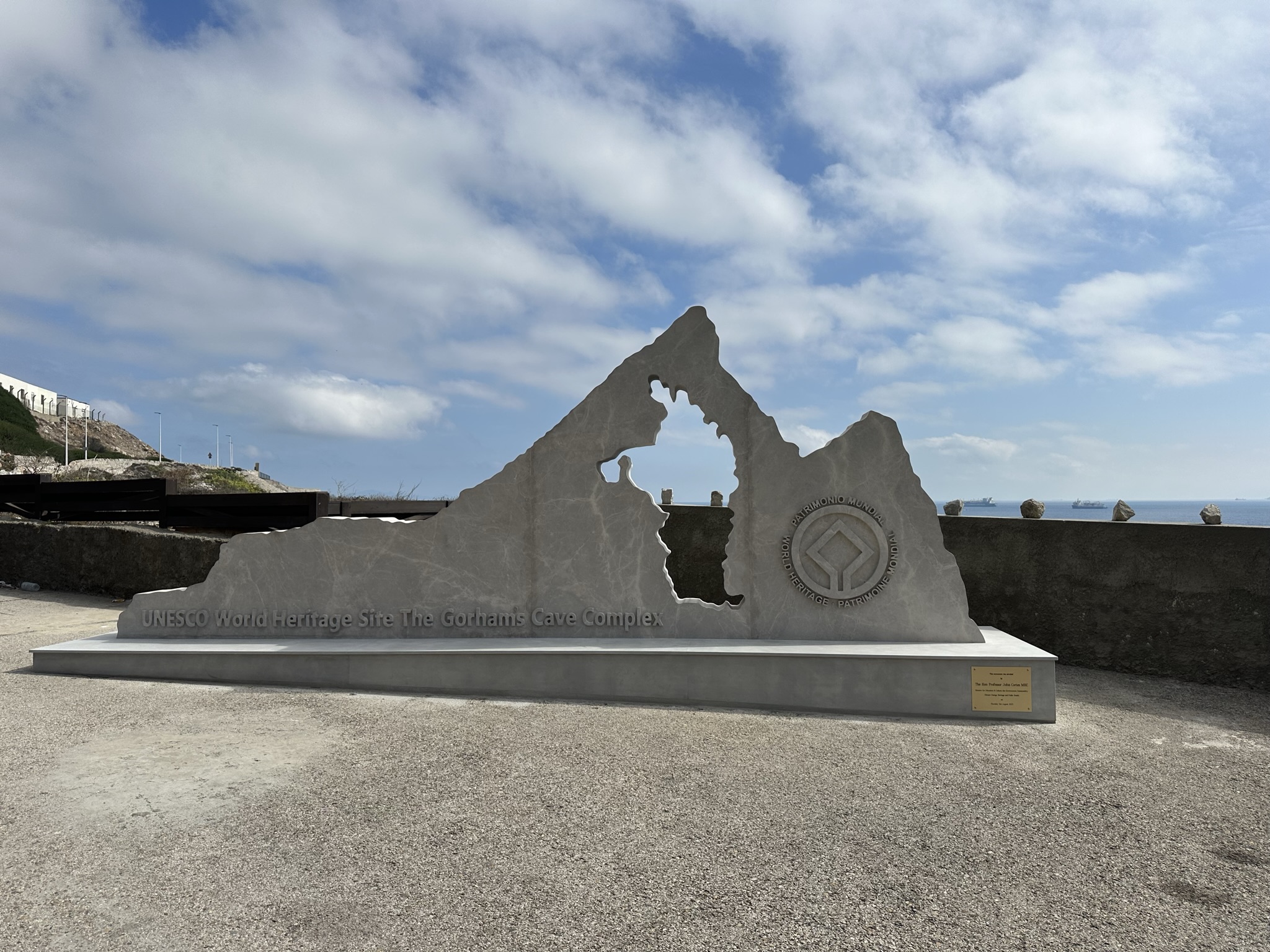
UNESCO World Heritage Site - Gorham Caves Complex - Location of the first Neanderthal woman's skull, located 8 years before the first man's skull discovered in the Neander Valley in Germany. It is the farthest east point of the ride (at the top of the map).

The turnaround point at Gorham Cave Complex. The caves are in the rock walls below at sea level.
_____________________________
At this point, I started north and up the mountain. In the map below, I started at the upper line on the right side and proceeded on the city road which was relatively flat (maybe elevation 150 feet) to the first switchback. Up that road to the left hand switchback and the Pillars of Hercules.


The gray triangle towards the right is above the road between the first and second switchback. The Pillars of Hercules monument is at that corner.
Me at the Pillars of Hercules monument.


Follow the road up the hill from the Pillars Monument to the intersection of the road coming down from Saint Michael's Cave. Another 200 yards was my high point, at an elevation of 850, well over half way up the 1400 foot height of the peak on the left side. (Saint Michael's Cave is 984 feet and the Skywalk is at 900 feet.) That point is Queen Elizabeth Point where she and Philip stopped on their around the world trip in 1954.


Here is the view from Queen Elizabeth Point and a closeup of the ship, docked next to another ship.
By then, I had been out almost four hours and I was snookered. I had two hours before I had to be back at the ship. It took an hour for me to get down. I zigged and zagged through the old Muslim quarter of town and my GPS was not working at over most of the day.
And I got back in time for a 75 minute hot stone massage.
It was a good day.
What an awesome day! Glad the cruise was not cancelled and hope the rest of this leg of the trip is as fun as this day trip seemed to be! Love ya! Jaye
ReplyDelete